In my research on methods of producing a map of all of my bike rides I stumbled upon gpx.studio. It lets you upload GPX files and it maps them. At first I was concerned it was run by some company that was going to want me to subscribe or sell me some services, but luckily it’s “free, ad-free, and open source” though you can support gpx.studio through Ko-fi and it looks like Mapbox supports them through their map tiling service.
Oh, a bit more about a “map tiling service”, which is a provider of (duh!) map tiles! As I started generating my own interactive maps I discovered these services, some are free, many are commercial, and most of the commercial ones have tiered service so you can at least try them out. Anyway, back to trying out gpx.studio!
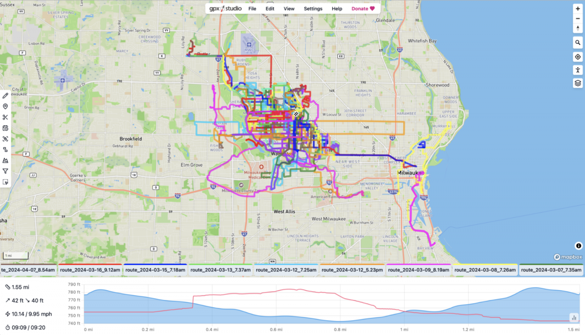
I loaded all of my GPX files into the page and it renders all of the routes! It tries to alternate through different colors which is probably useful for most people, but not for my purposes.
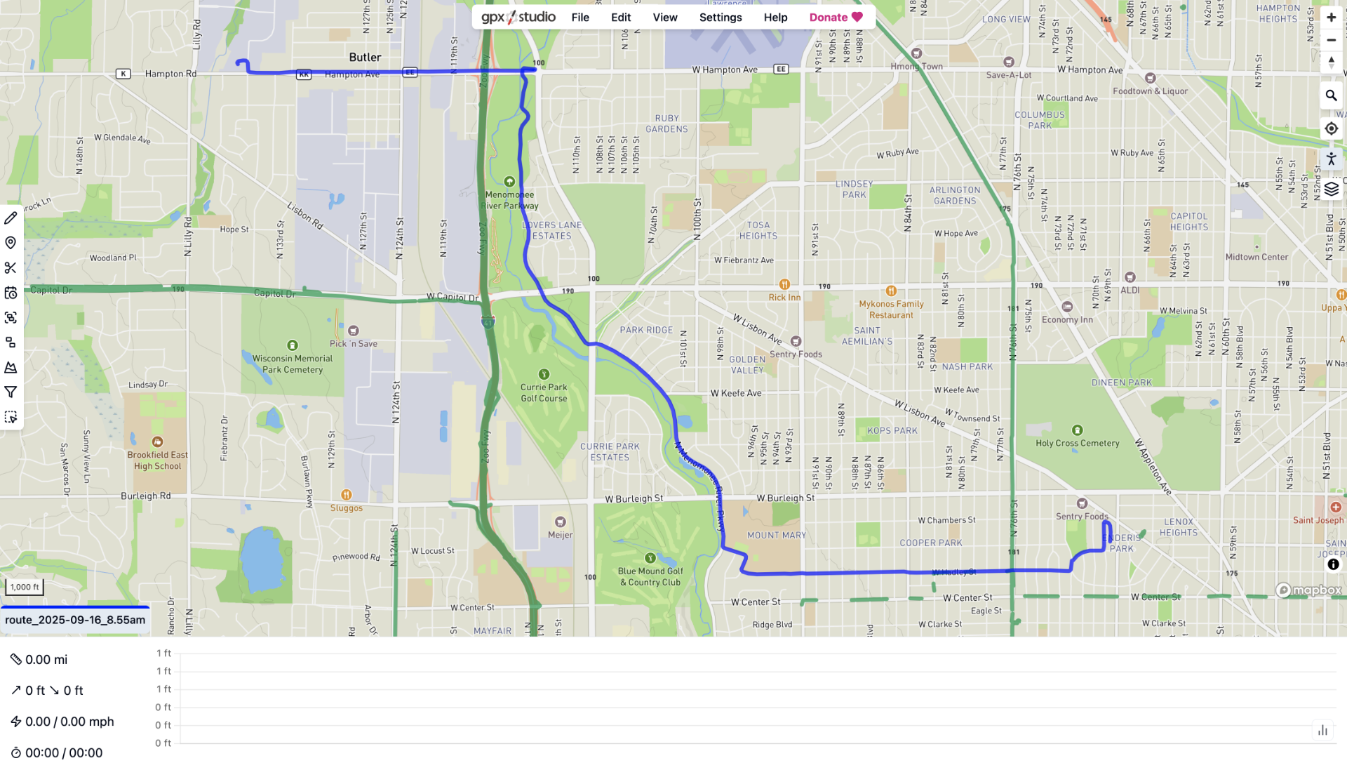
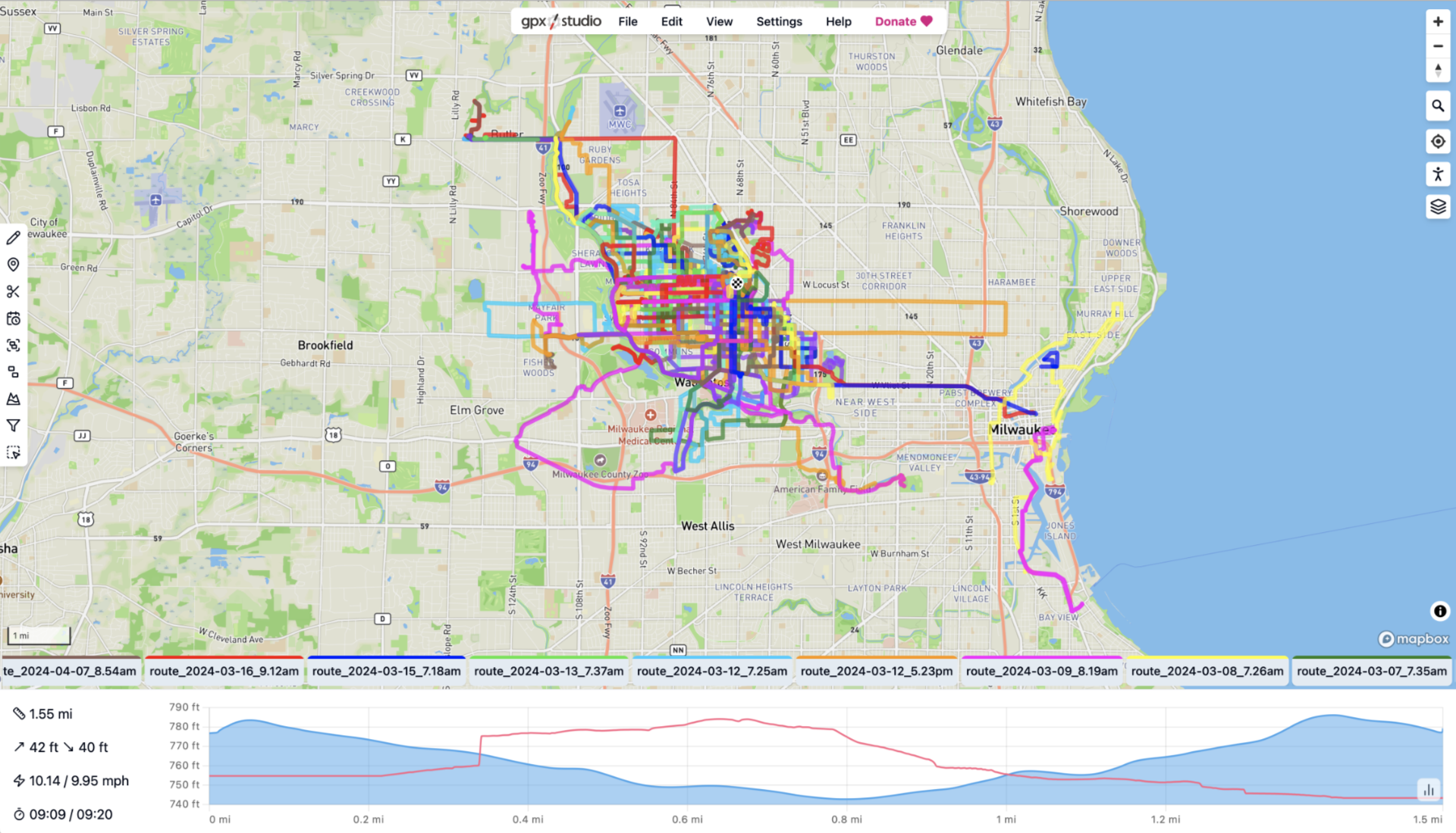
You can of course just load a single file at a time… Here’s one of my rides to work. It’s a nice, clean interface, and for the thing it does, it does it well.

Here’s another tile set (different map view) showing my ride in Palm Springs, California back in April. The brown stuff on the left are mountains. I’m glad I got to do a bike ride in another state, and hope to do more of that (and other countries!) in the future.
Okay, so gpx.studio is pretty cool, and it’s a free tool without the nagware that so many sites have nowadays. While it probably isn’t right for my goal (a single map showing all of my bike rides) it’s worth checking out if you want an easy way to see your GPX data on a map. It’s actually got a lot more features, which you can read about in the docs!
See Also:
- Mapping Bike Rides (Part I)
- Mapping Bike Rides (Part II)
- Mapping Bike Rides (Part III)
- Mapping Bike Rides (Part IV)