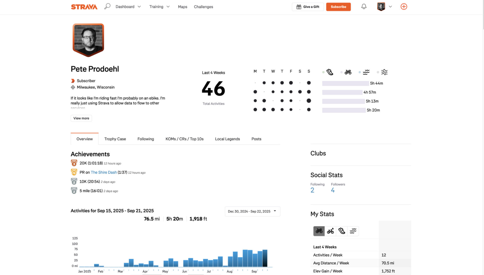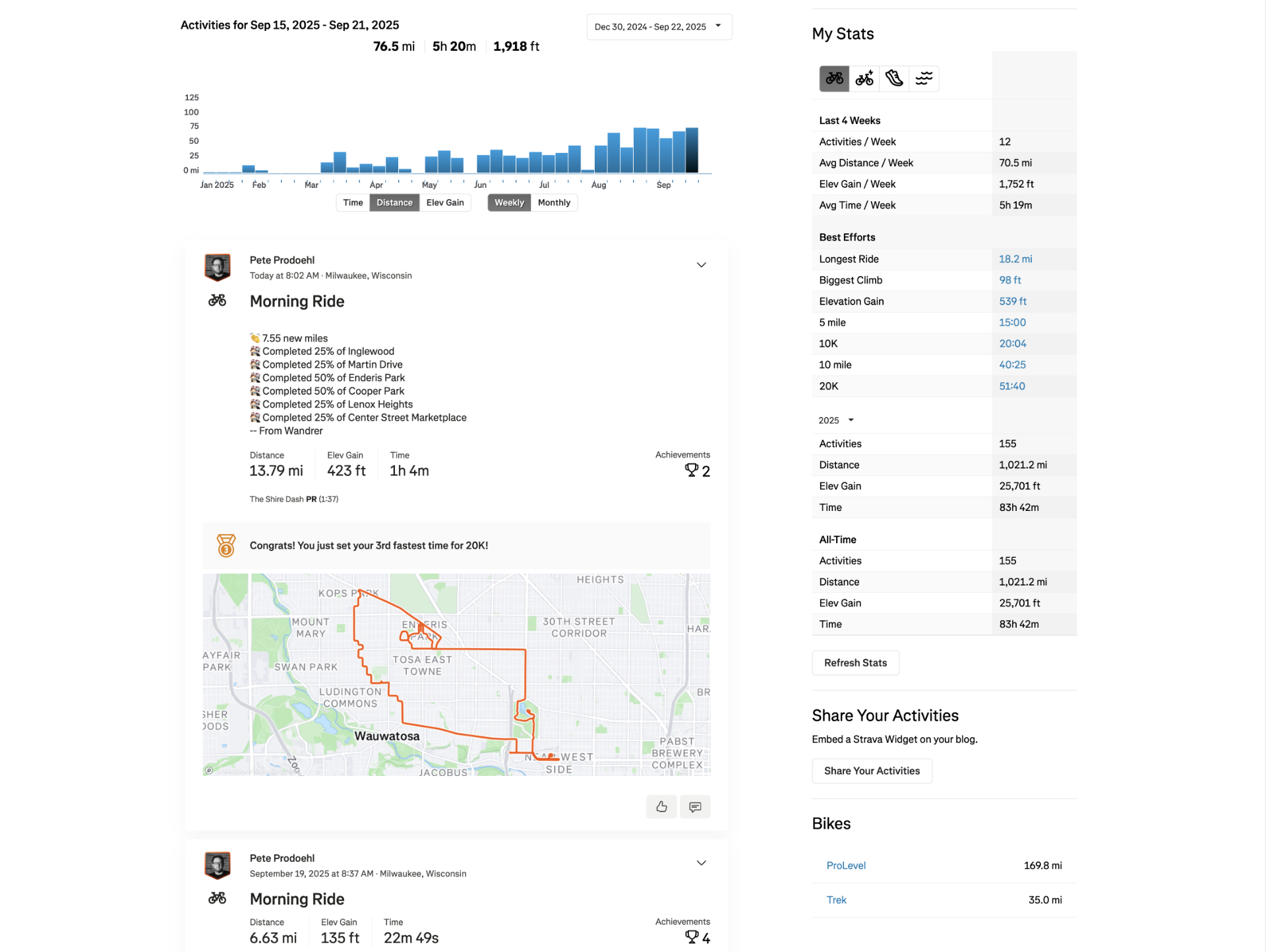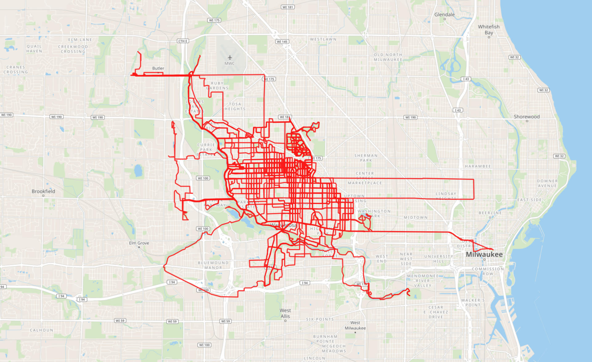
As I mentioned in I eBiked to Work! I am now riding an ebike to work. I do this whenever I can. I rode 17 out of 22 work days in September. There were a few days it rained, or I had appointments during or after work that I could not easily get to by bike, but overall I prefer biking to work.
I’ve basically replaced my old morning routine which was; get up, go for a local bike ride, go home, then go to work with the new improved get up, do whatever at home, bike to work. And I of course bike home at the end of the day. I had feared there were days I’d be too tired to ride home but honestly I get excited to ride again at 5pm!
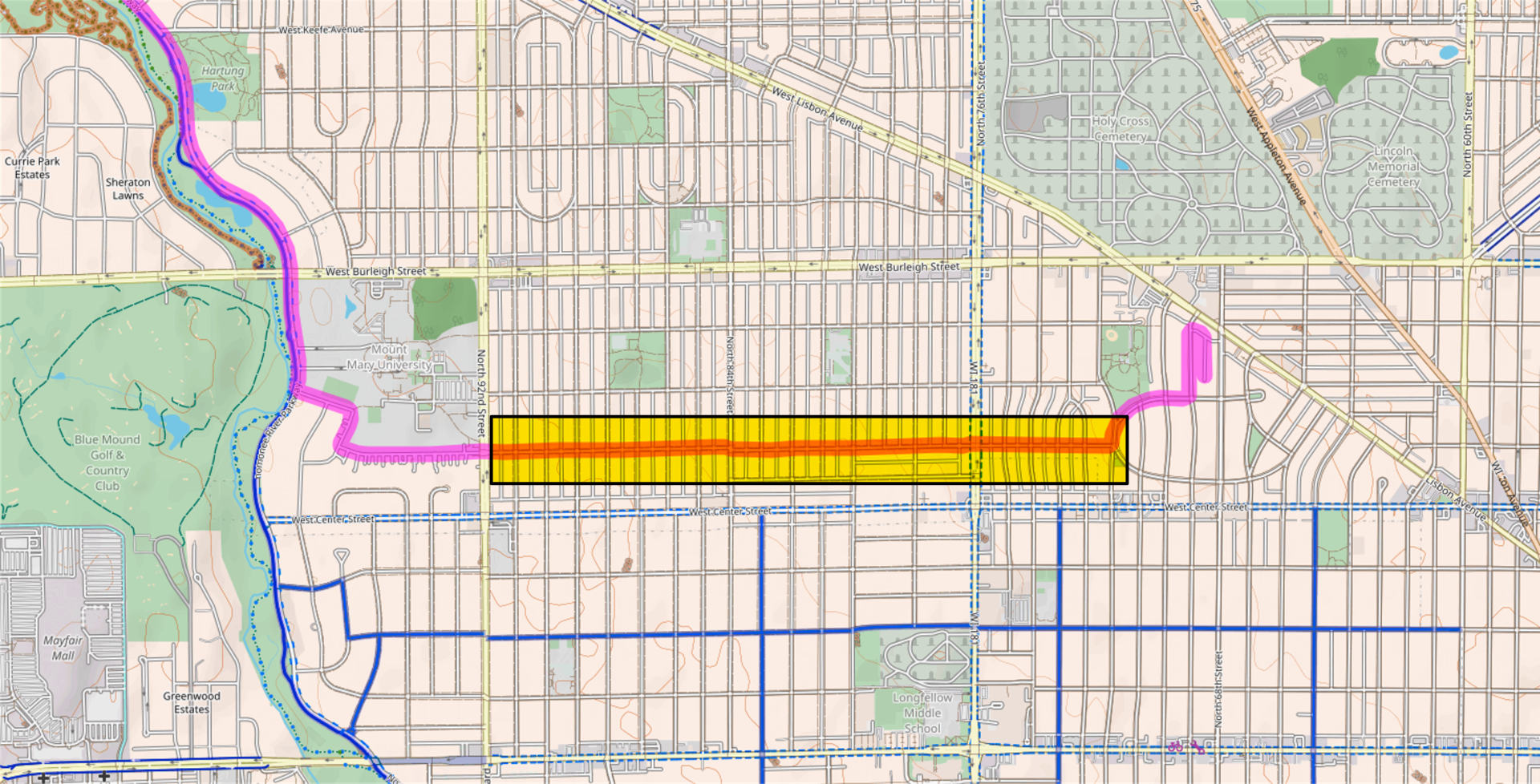
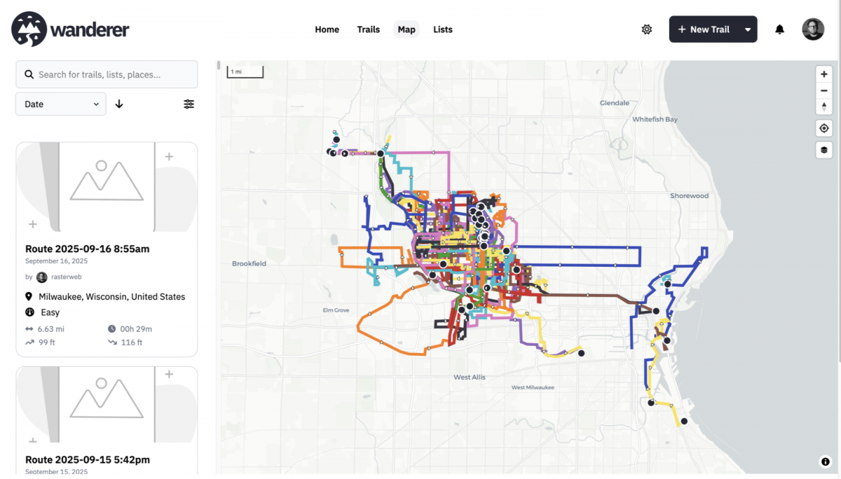
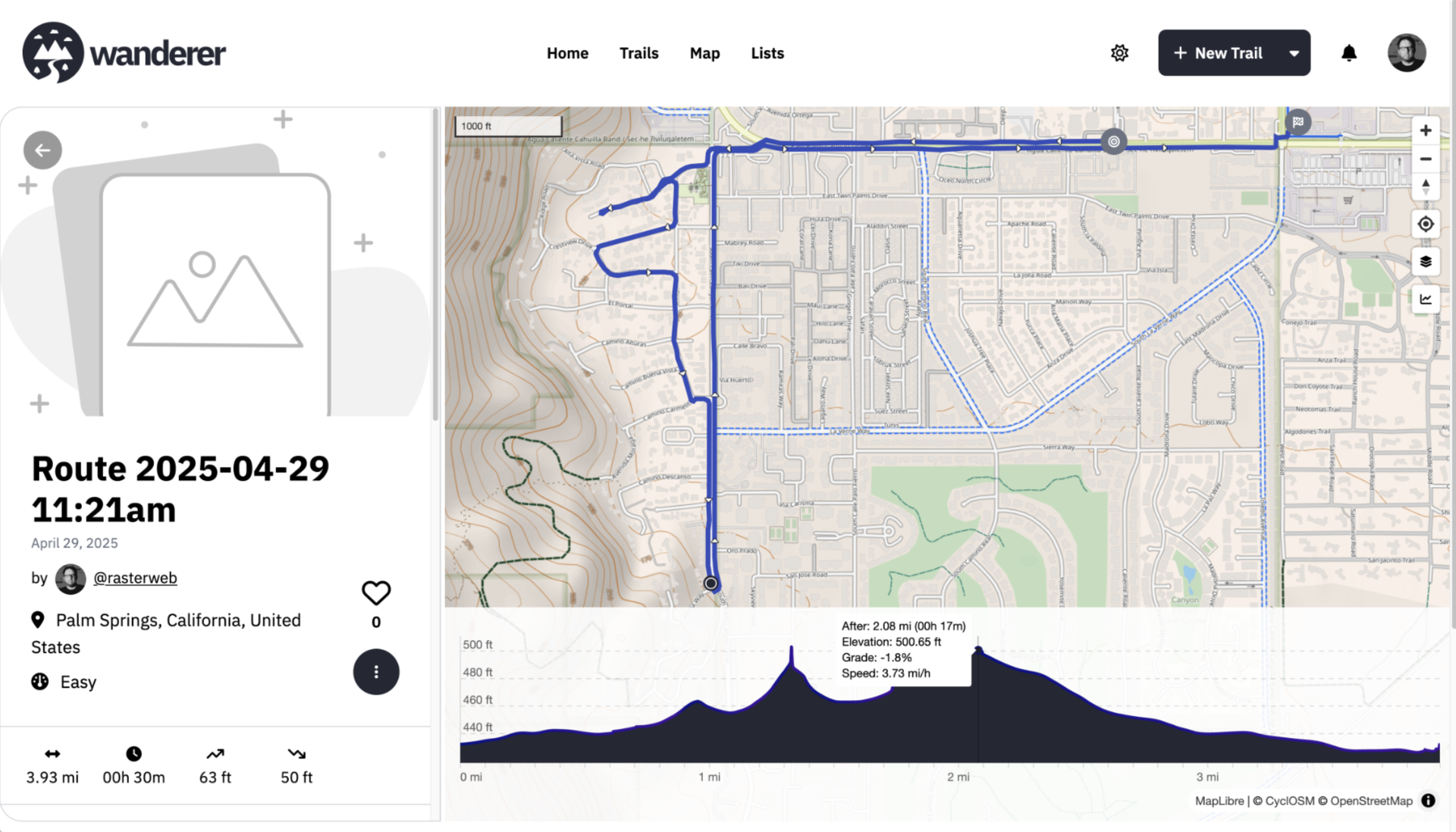
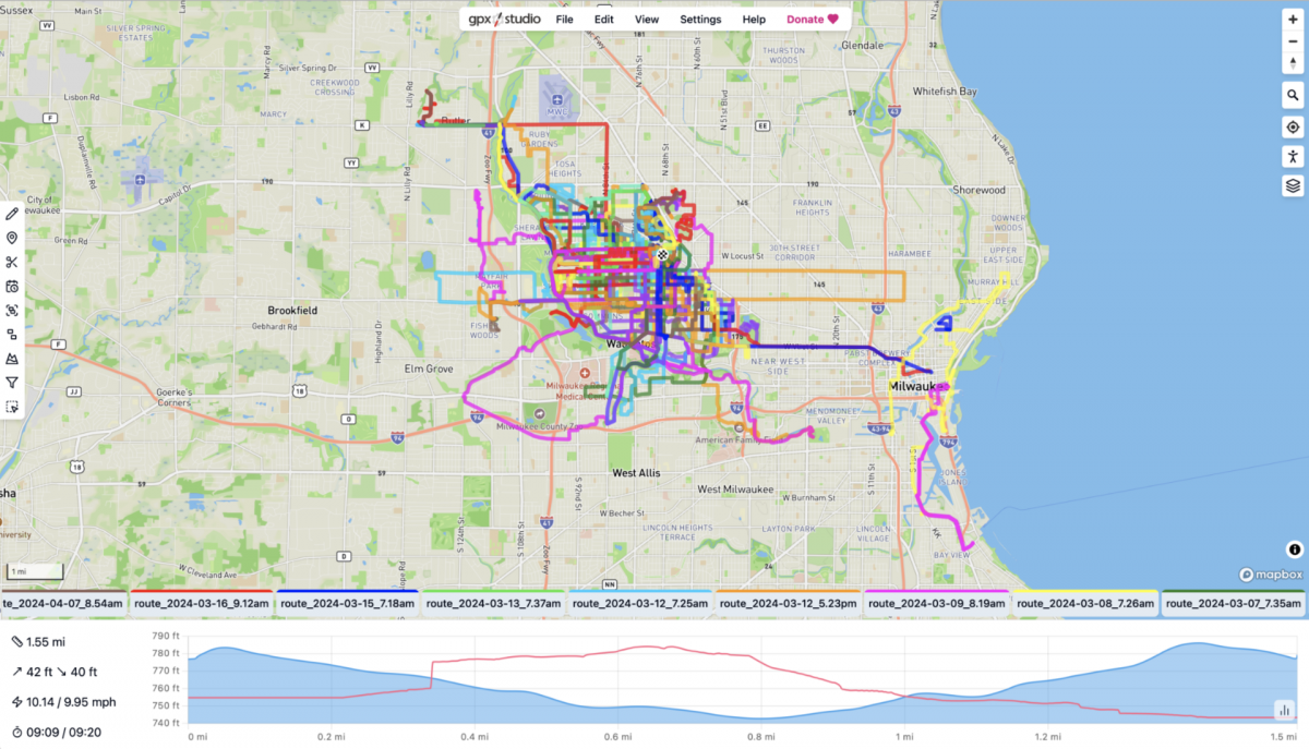
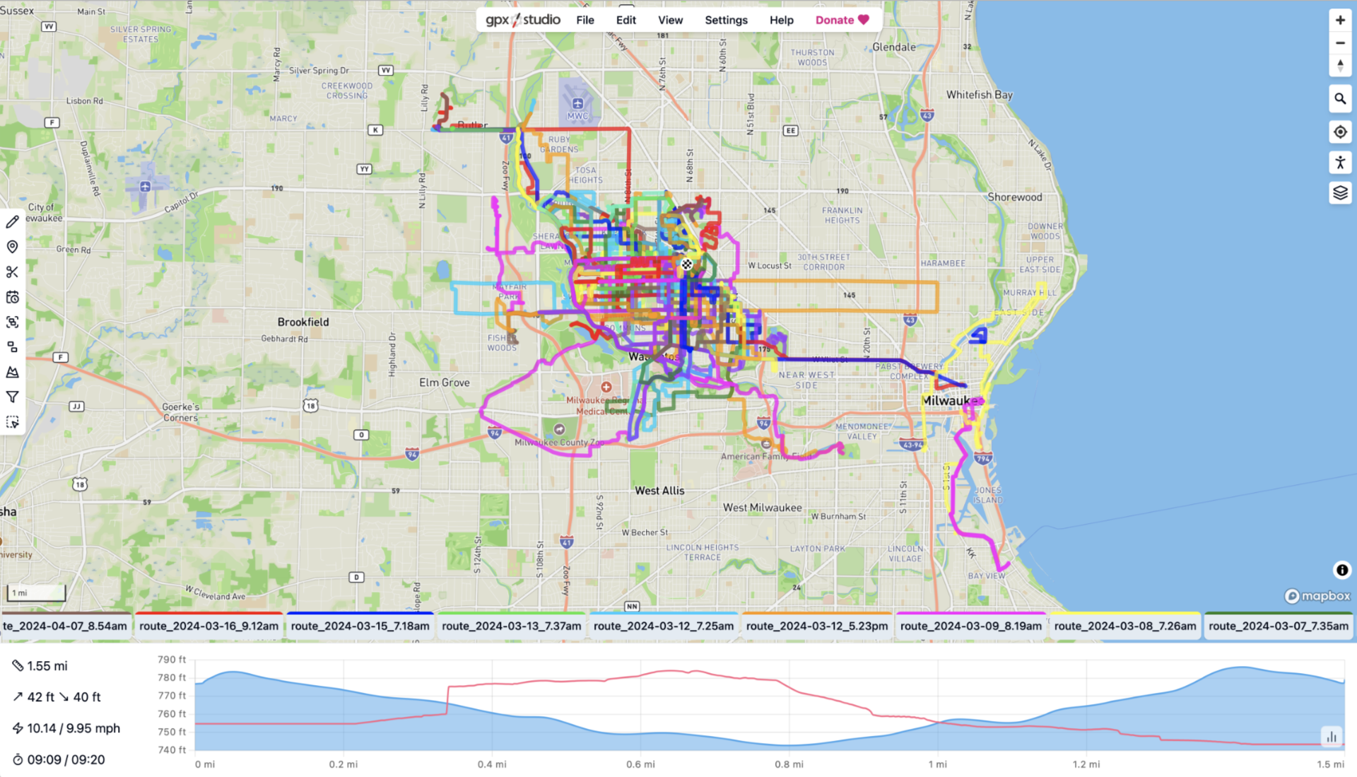
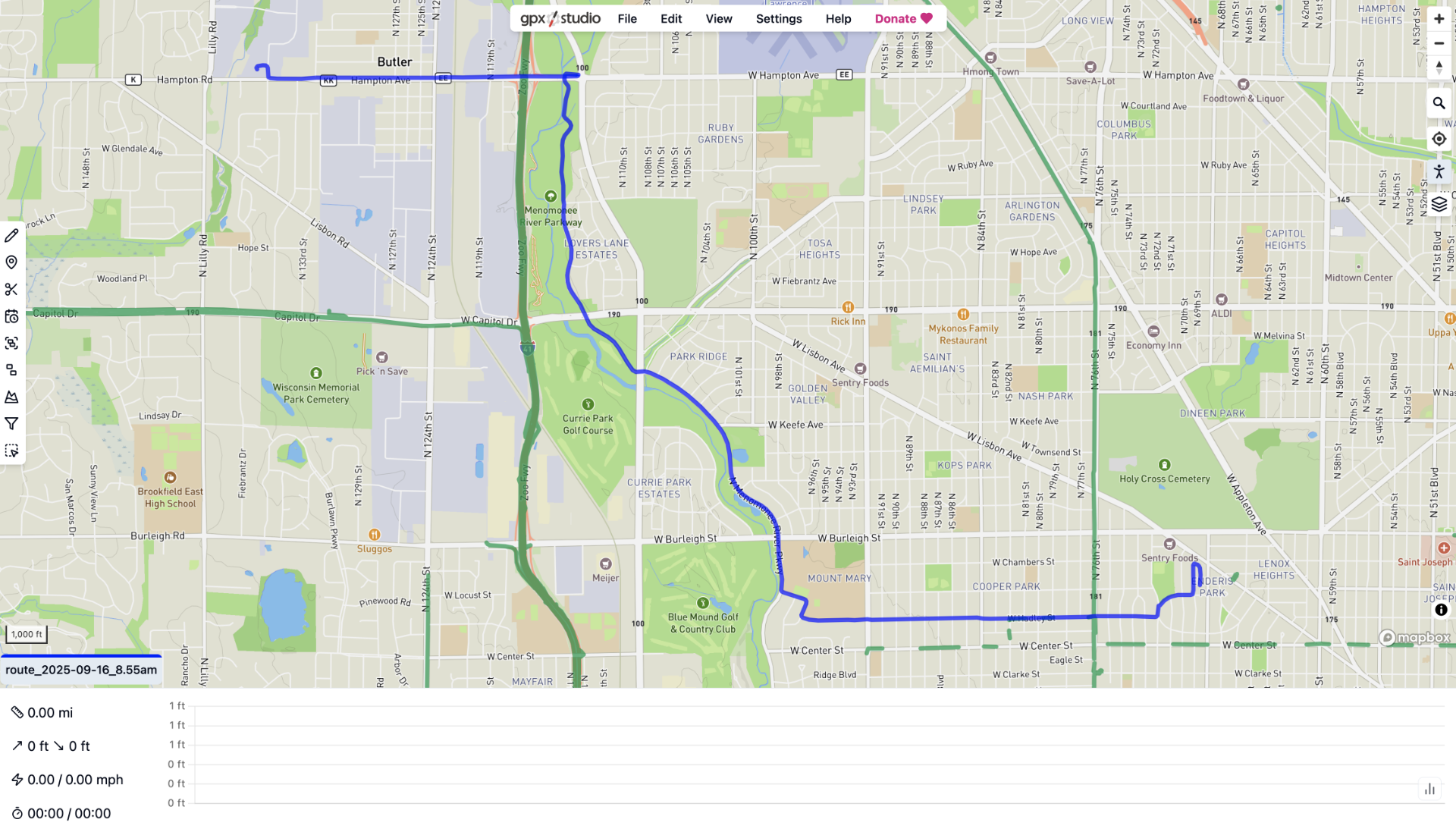
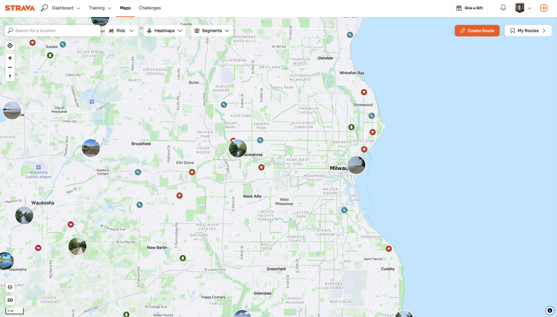
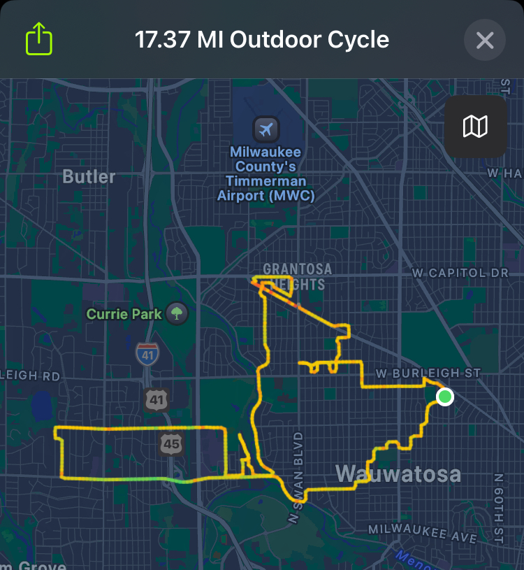
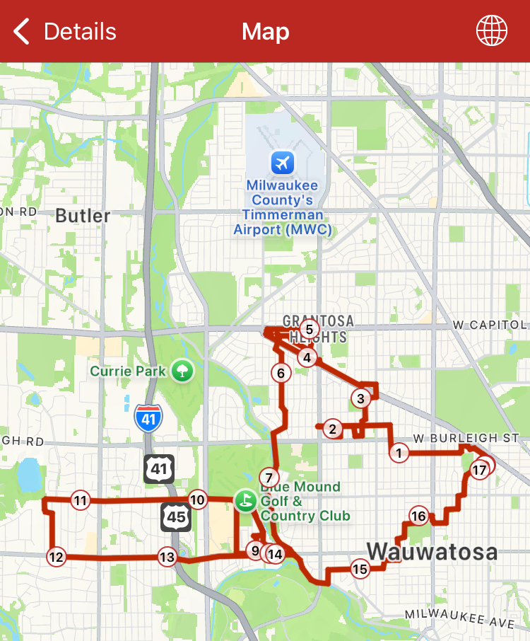
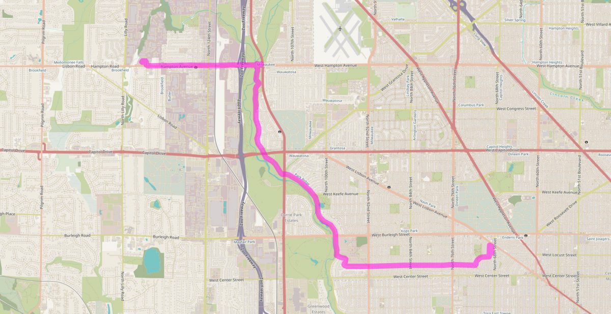
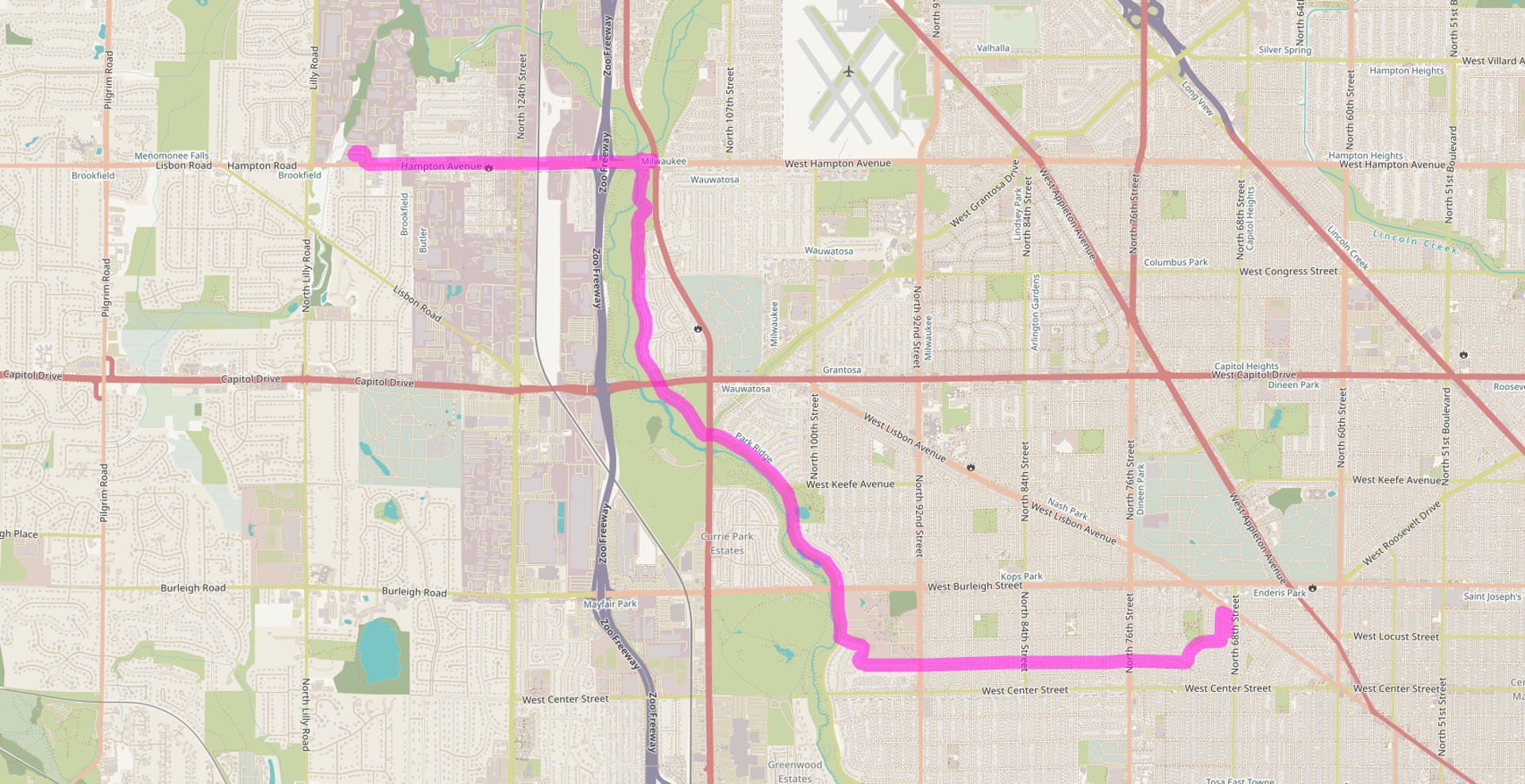
Anyway, I wanted to map out my route. The route changes as I mix it up, but this is the old standard “I don’t want to think about it” route. I leave Enderis Park and head west usually on Hadley, or maybe Locust or Chambers, and take that up to 92nd street. Crossing 76th and 84th is not too bad. The rest of the streets are not busy, sometimes I don’t even see a car on this segment. It’s typically under 10 minutes…
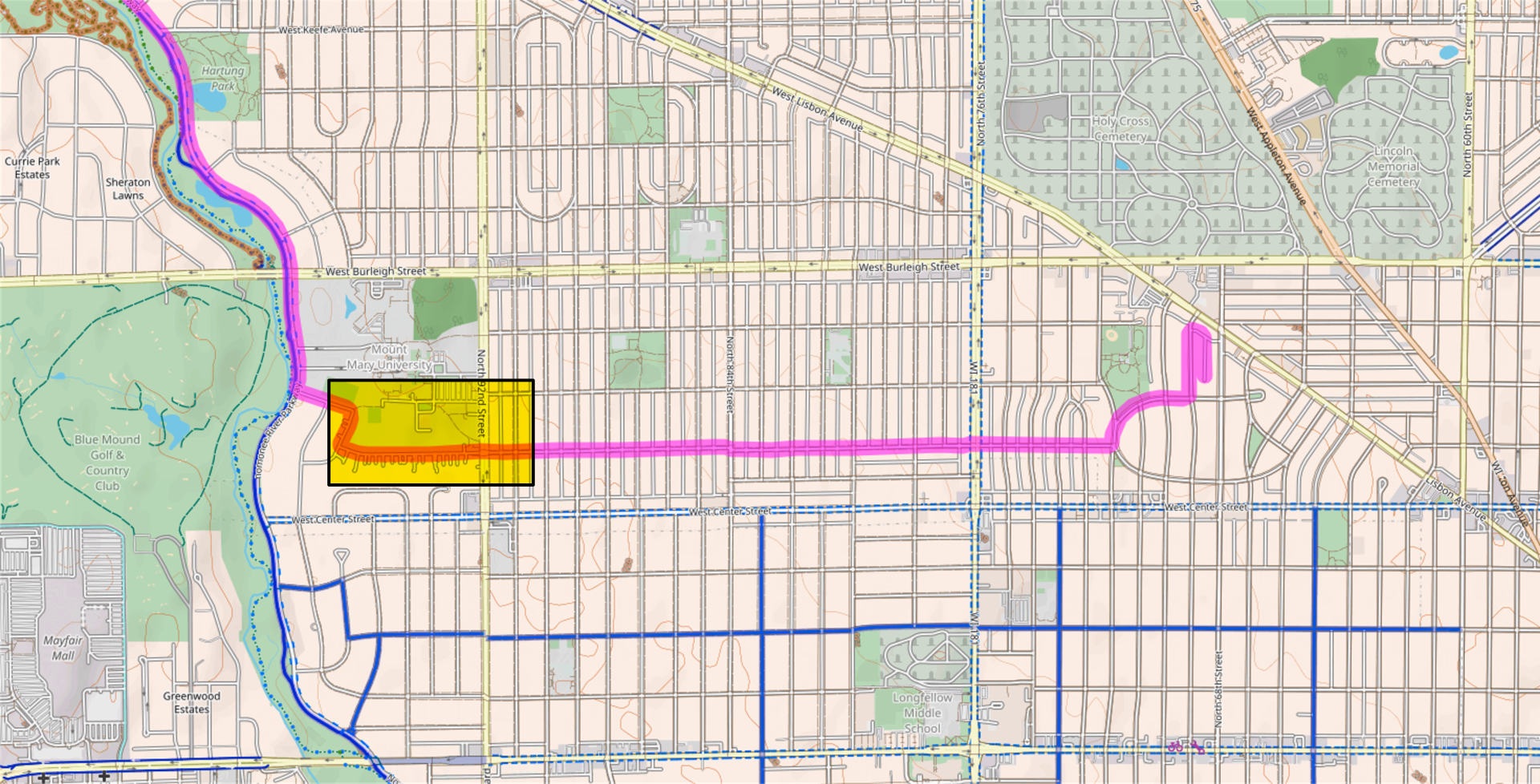
Once I cross 92nd street it’s free and clear and I can open it up and speed (25mph) all the way to the Menomonee River Parkway. I pass Mount Mary (on the side) and then get on the Menomonee River Parkway…
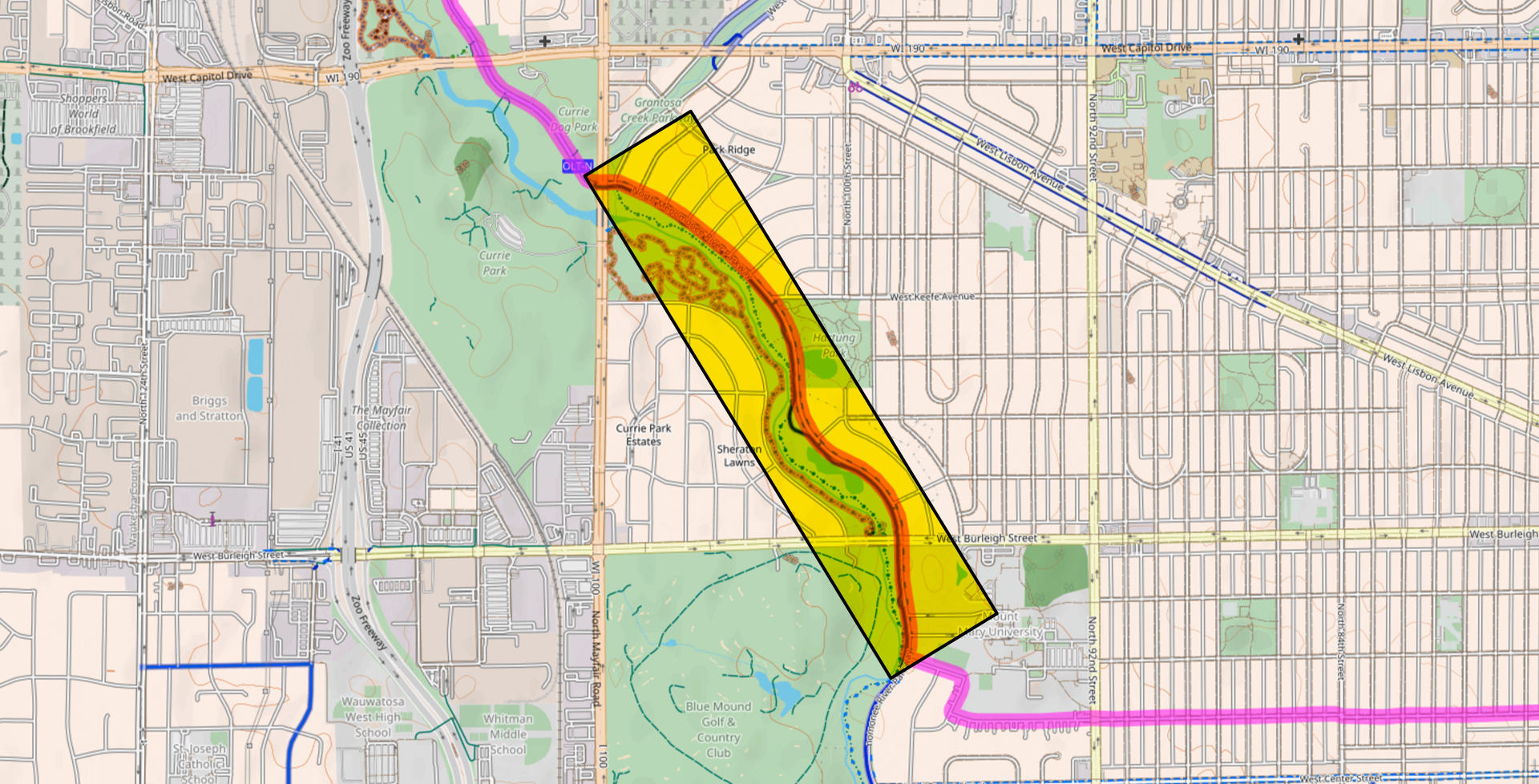
I take the Menomonee River Parkway riding with car traffic, trying to keep around 25mph if possible, and then almost always have to stop at Burleigh… Once past Burleigh it’s a smooth ride with no stops until I hit Mayfair Road.
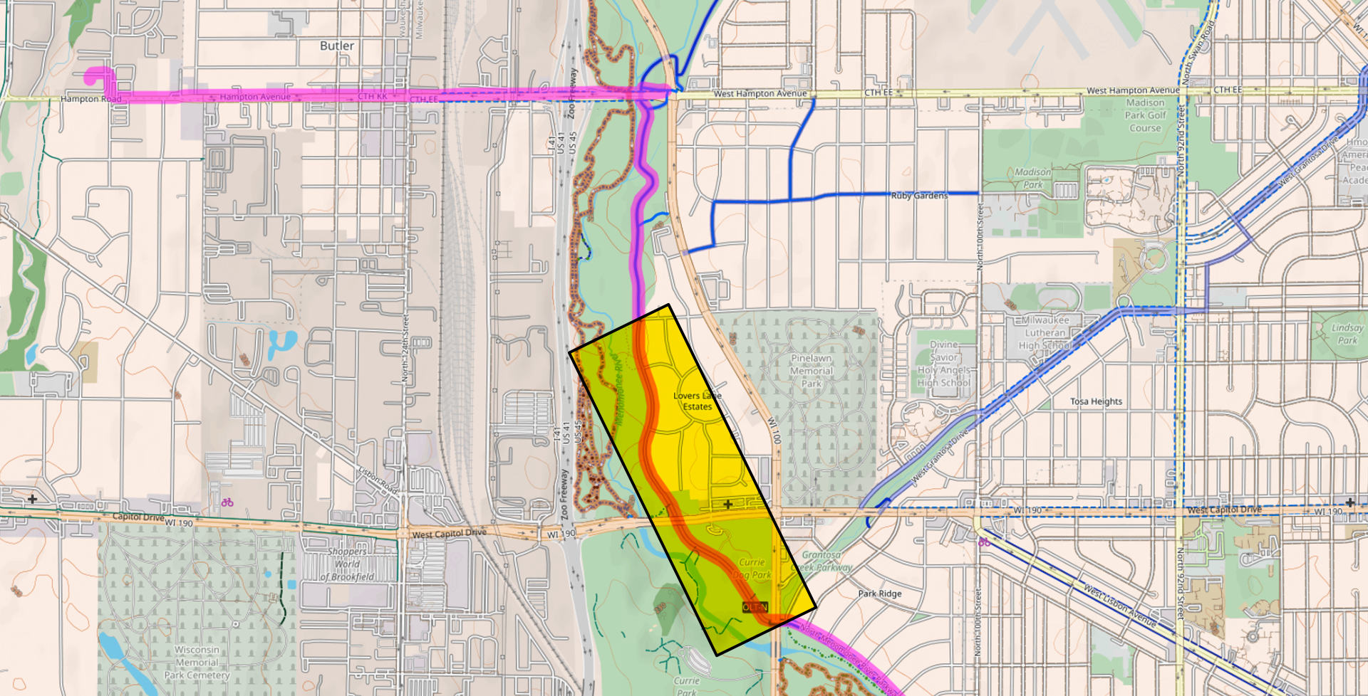
Now Mayfair Road can be terrible. (See this post!) But again, once past it I get some smooth riding at top speeds with almost no car traffic. I take this to the end where it meets Congress…
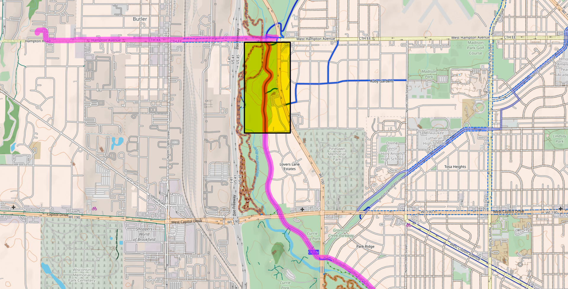
And then I’m on Oak Leaf Trail, and then into the woods, right next to the river, and it’s the best part of the ride. (Except for the occasional swarm of bugs!) I get to ride under Capitol Drive. Super thankful I don’t have to cross Capitol!
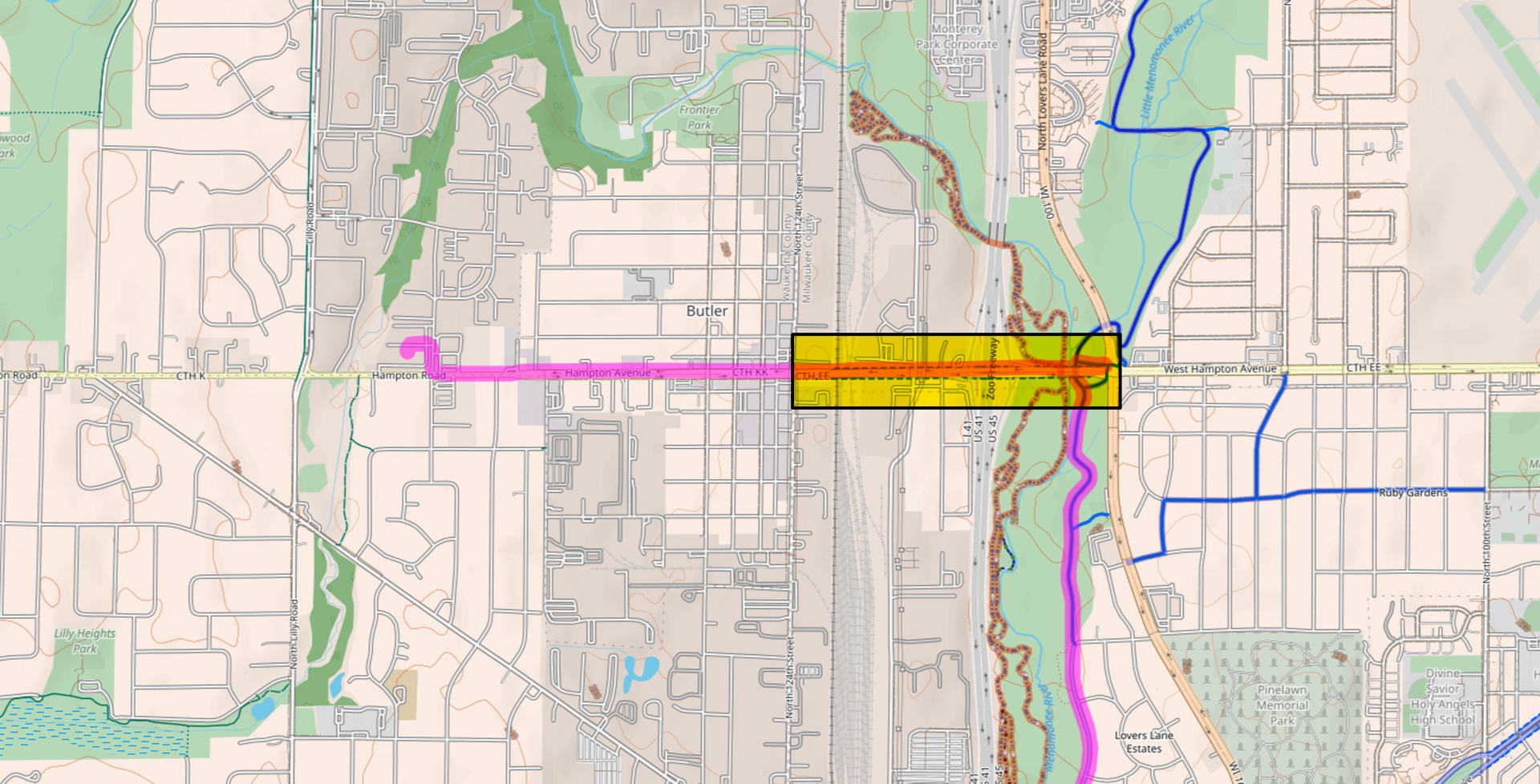
Once I cross under Hampton I need to get back to road level and… deal with Hampton. It can be bad. I just need to go from Mayfair to 124th street. I cross the river, the railway, and the highway… uphill. I try to go as fast as I can to make being on this segment as short as possible. Also, right now there is construction, which is good and bad. Sometimes I get my own lane, sometimes there are barrels everywhere. It’s the worst but it’s less than 5 minutes.
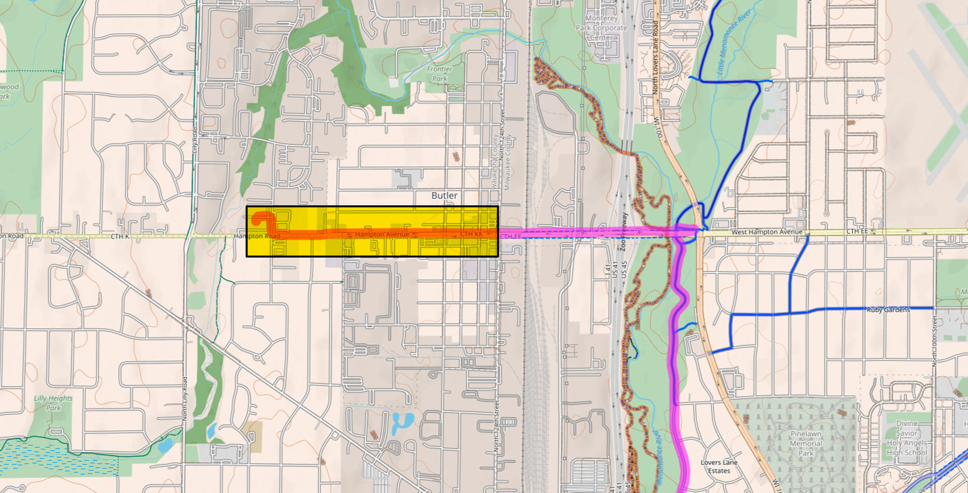
The intersection of Hampton and 124th is where I need to take the lane because of people turning right. Again, not ideal but it hasn’t been too bad. After crossing 124th the speed limit on Hampton going into Butler is 25mph and people tend to keep it under 35 there, so it’s not terrible. Finally I get to Menomonee Falls which has no bike or parking lane at all and have to ride on a tiny bit of shoulder for about half a mile. Again, not ideal, but not too bad. I can do this ride under 30 minutes. My best time is 23 minutes, depending on how long I need to wait to cross the busy streets, and if I use top PAS and pedal like crazy!
Now, there are other routes, and sometimes I do mix it up a bit, but to cross the river, and railway, and freeway requires I make a choice of the big roads… Hampton, Capitol, Burleigh, or North, and they all have their pros and cons.
I am mainly posting this so I can look back in the future and see how my route changes. This is the route I discovered that made me decide I could actually bike to work, so I wanted to document it.
Keep on Pedaling!