Categories
Uncategorized

Squadrats by Bike

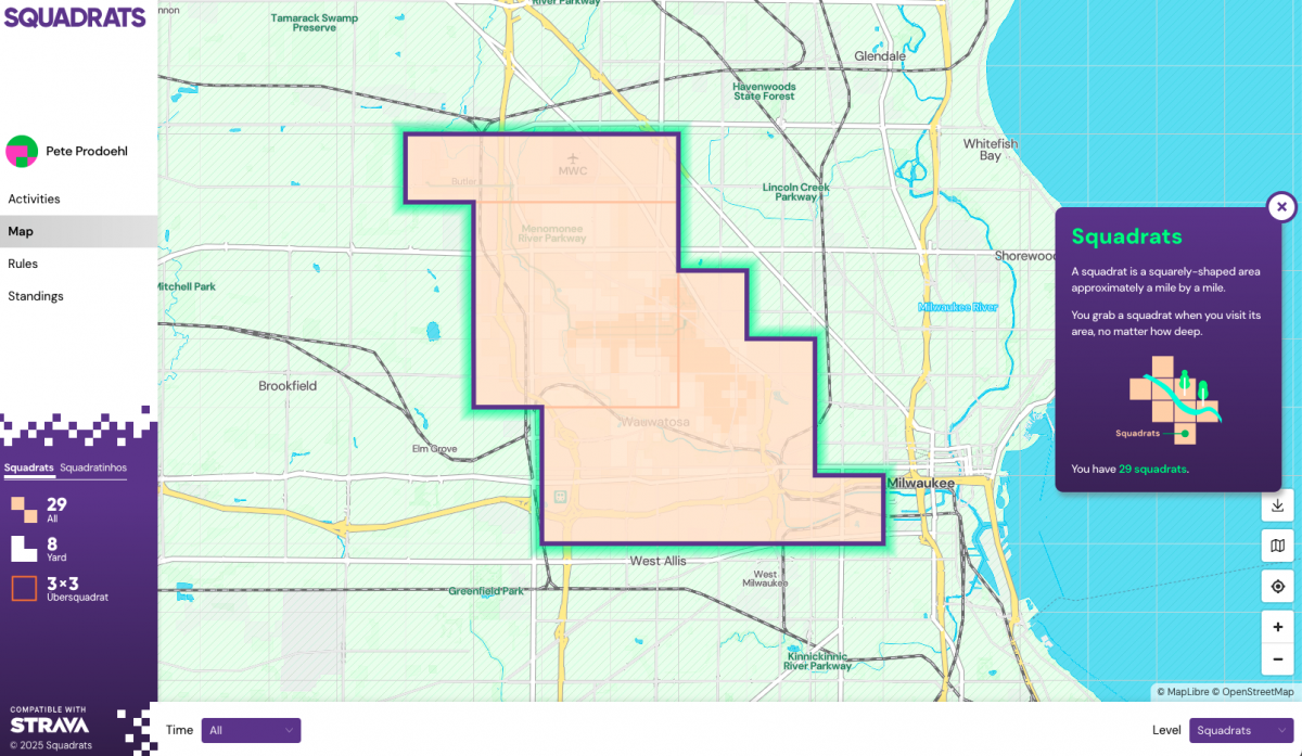
When I first head of Squadrats I thought it was “Squad Rats” like some sort of cool bike gang name. It is not. I think it comes from Quadrat. Anyway, it’s a web site/service that tracks where you’ve been. It could be by walking, hiking, or biking. It’s sort of a game? I don’t play though, I just like to see my own data.

Check out the rules.

  1. Leave your house.
  2. Record your activity with a phone or any GPS device.
  3. Collect squadrats.

Ride, run, walk, swim, boat, but use your own muscles, wind, or gravity. Motor vehicles (except e-bikes) are not allowed.

So yeah, it’s sort of a game like Pokémon GO I guess…

To use Squadrats you need to get your data into Squadrats. When I do a bike ride (or a walk) I use my Apple Watch to “start a workout”. Last year I started using (the free version of) RunGap to get a better view of my bike riding data than (the free version of) Apple Fitness gives me. I still use RunGap, which is great for some things. If you want to export your data from RunGap you have to pay though. (Note: You can get your data in a SQLite database if you use the “backup” feature, which is free… I should write up a post about that.)

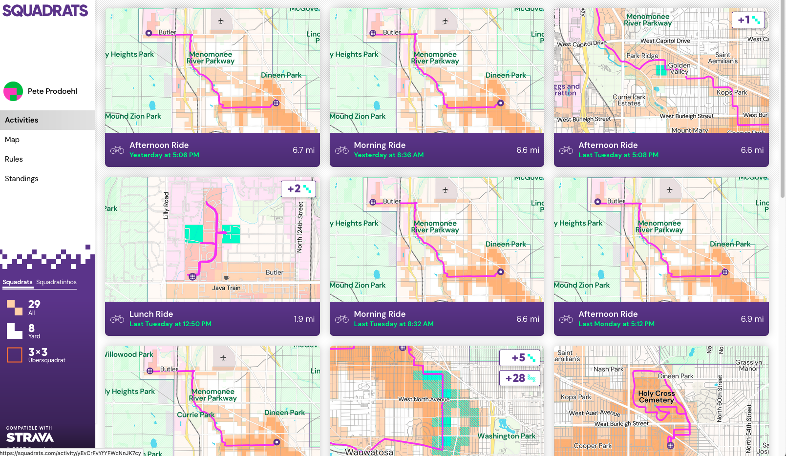
Where was I? Oh yeah! RunGap made me wish there was a feature where I could see all of my rides on a single map so I thought about ways to do that on my own. None were easy, so I started looking for solutions and found Squadrats. Data can get to Squadrats via Strava, but I don’t use Strava. Well, I didn’t use Strava, but I do now, because it’s the way to get my ride data from Apple Fitness/Health to Squadrats… Strava is the intermediary between the two.

But Strava is weird for me, because I feel like it’s also a “competition thing” and I don’t care about competing with people, I just want my data to flow somewhere. Strava makes it look like I ride a bike really fast, but I’m just on an ebike commuting to work.

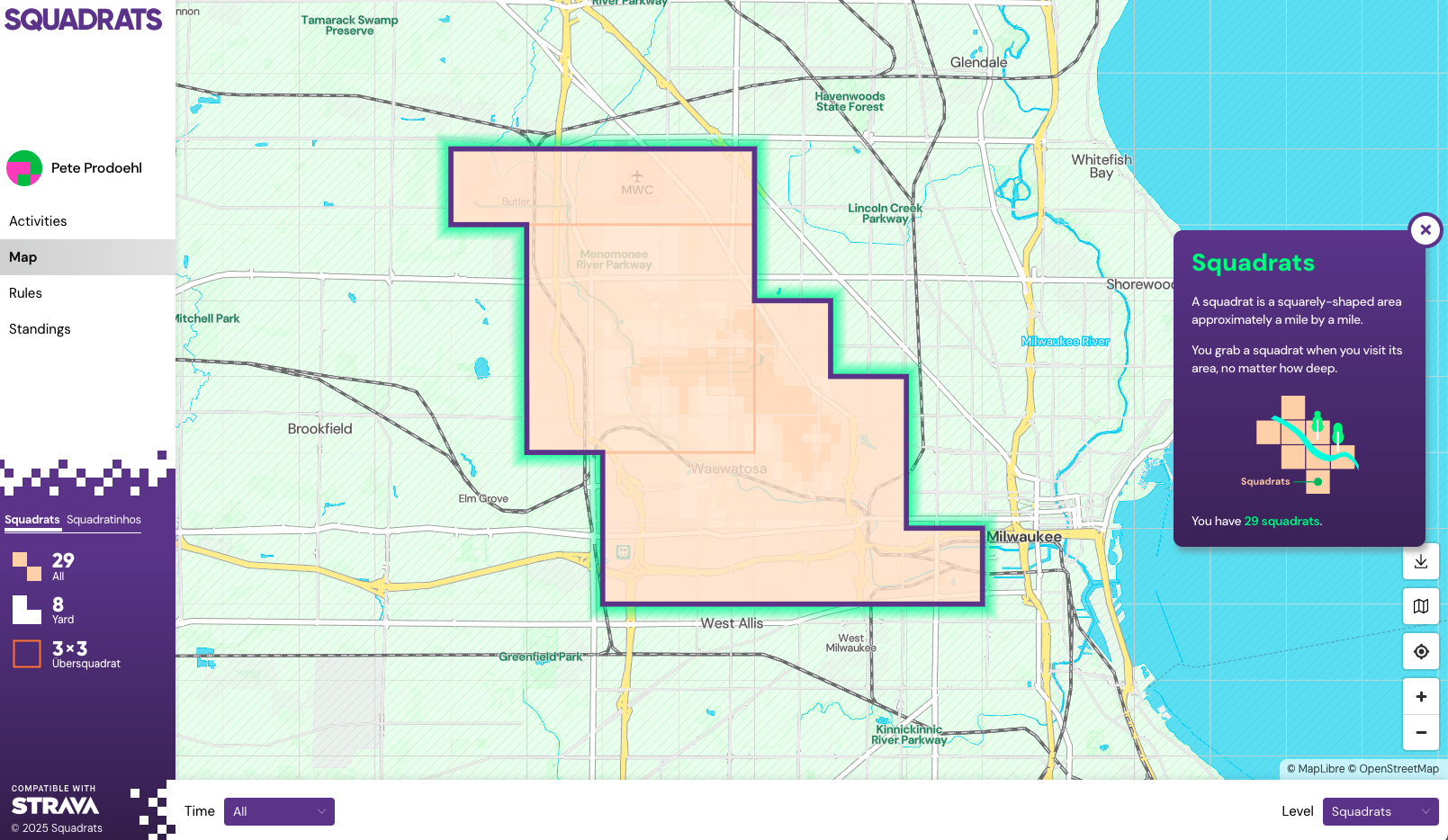
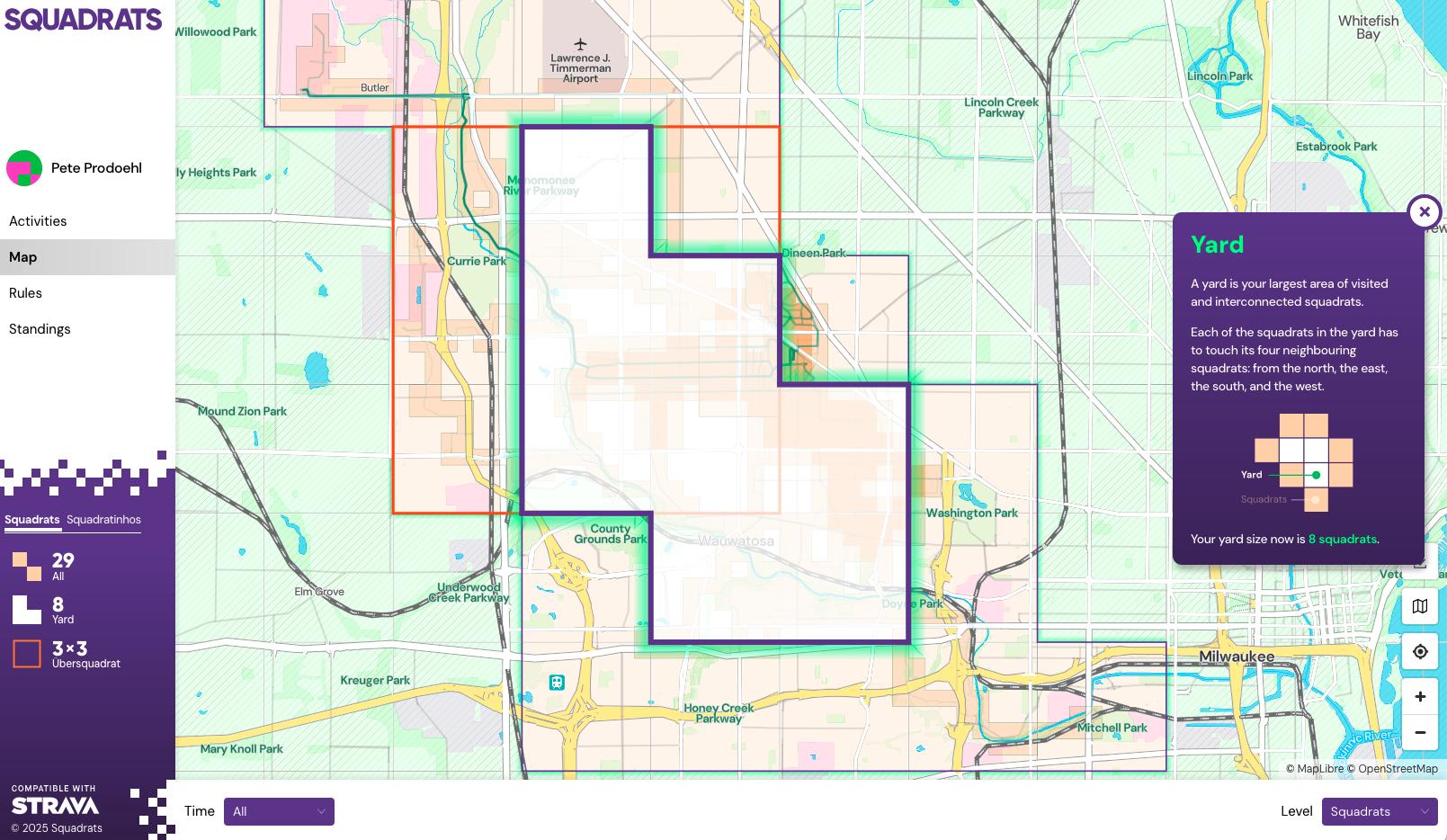
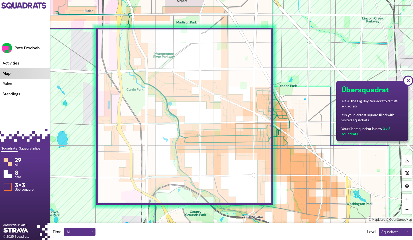
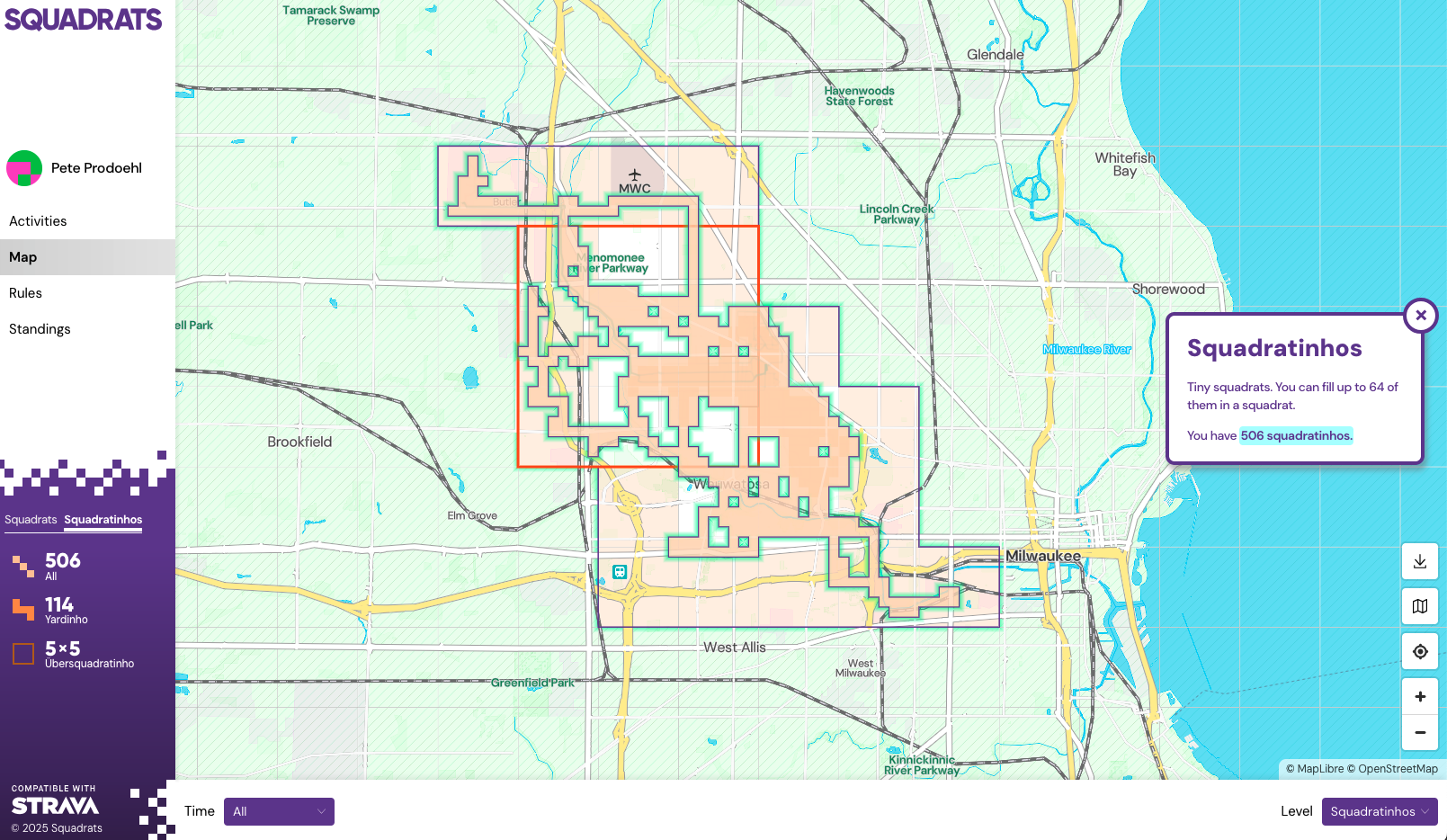
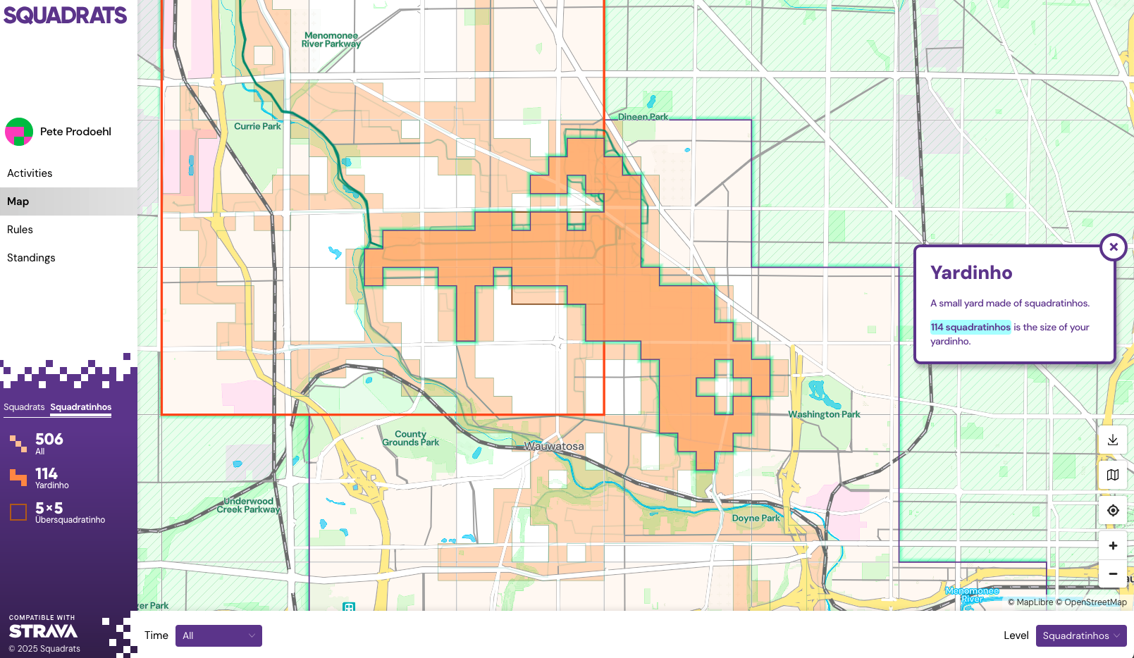
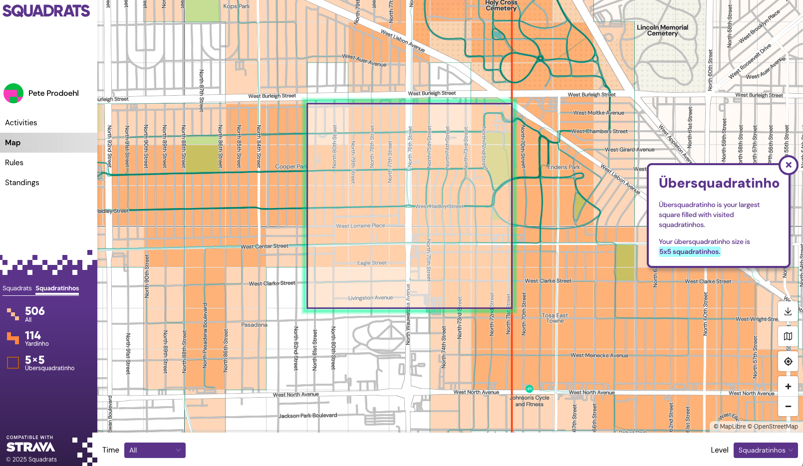
I like most things about Squadrats when it comes to displaying my ride data. It’s great to see a map of where I have been, and you can narrow things by choosing “All time”, “Last 7 days”, etc. and then look at Squadrathinos, Yards, Yardhinos, Ubersquady-somethings, etc. All the terminology is a little weird but whatever.

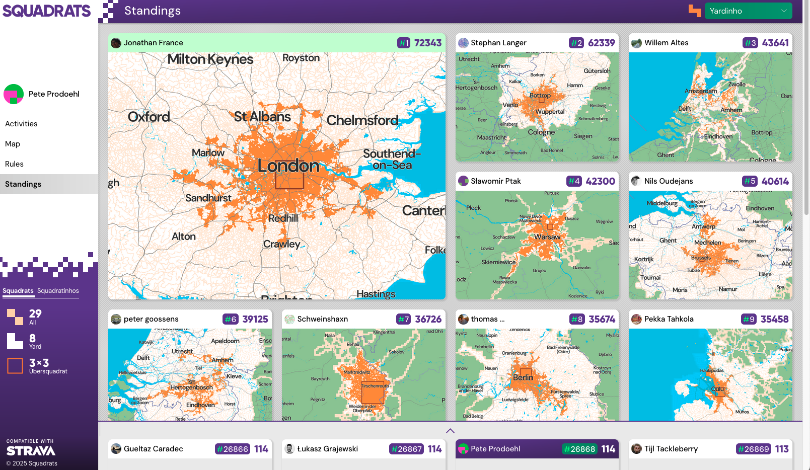
There is a “Leaderboard” and while I’m not out to compete with anyone but myself it’s interesting to see the data. I managed to get about two months worth of data into Strava (and Squadrats) by doing an import from Apple Fitness/Health when I signed up for Strava, but it seems like I can’t easily do that import again, so there’s not a simple way to load all my past data. (There is a way. Looks like I can do it 25 files at a time… I may do that.)

Squadrats is neat, and I do like it… But! I am working on some code to take all of my GPX files from Apple Fitness/Health and plot every ride on a map. I’ll be posting about that soon. Stay Tuned!

Update! I manually uploaded all of 2025’s rides to Strava now and they have flowed into Squadrats so my map covers a lot more area!

Categories
Uncategorized

Tracking Maps

Google Map

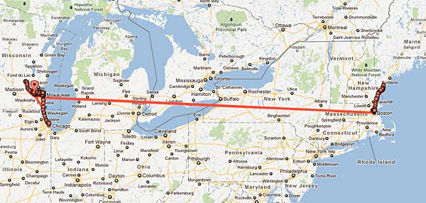
I’ve had a few people ask how I create the maps showing where I’ve been recently, so here’s a quick tutorial on the process.

I’ve got Google Latitude installed on my phone, and it runs constantly tracking my location, and the data is saved to Google’s servers. (Note: If you’re paranoid about being tracked, you can stop reading now.)

Google Latitude

Every now and then I log into www.google.com/latitude using my desktop browser, click on ‘View location History’ to get a map of my travels, and then choose the date and a time frame.

Map

I’ll often do the last 30 days (which is the maximum) but for this map I did just two days to show all the traveling I did over a weekend. (Minneapolis and back!)

Once you’ve got the date and time frame set, you’ll see your map. Just resize it, position it, and do a screen capture, and you’re all set!

Wikipedia has a good write-up about Google Latitude.

Update: It seems Latitude will be shut down on August 9th, 2013. Sorry, kids! I’ll be investigating other ways of doing this.

Categories
Uncategorized

More Tracking (Please!)

Boston

Remember last year when I wrote about how your iPhone tracks your location? (Sort of.) Some people find this stuff creepy, but I’m a fan of geo-tracking, and I want more of this data. It’s part of the reason I use things like Foursquare and Google Latitude. A fellow Milwaukee Makerspace member is even working on a device to seamlessly let your office mates know which office you are in. (See Marco.)

Last 30 Days
Last 30 days of tracking, via Google Latitude

The fact that Google Latitude only shows the last 30 days is (to me) a bug, not a feature, and it means that if I want to save that data, I probably need to dig into the API and write my own code to do it. I wrote some code to grab and save all my Foursquare data, and it worked great until they deprecated the API. I haven’t upgrade my code to use new API because it’s an OAuthMess, which I haven’t wanted to deal with yet.

Delete!
A sad list of choices for hardcore geo-nerds

I understand that many (most?) people don’t want this data public, or shared, or kept, or all of those things. I mean, look at the options: Show timestamps, Export to KML, Delete history from this time period, Delete all history. Half of your choices involve deleting data.

When I look at some of the mapping crazy-geo stuff that Aaron has done… I’m floored by it, and I want to see more of that, not less. Again, it’s not for everyone, but for the people who want their own data, or the ability to share/republish their own data, there’s some good potential there… and I hope to see more of it in the future.

Categories
Uncategorized

Your iPhone is tracking you!

Oh yeah, time to freak out, because your iPhone is tracking you! Well, it’s tracking itself, or cell towers, or wifi access points, or… something of interest, but sadly, it’s not doing a great job at it.

For some people, this is “Big Brother” type of scare… and for others (fans of geo-tracking) it’s not quite good enough.

I grabbed iPhone Tracker, and dug through some of my files, and took a look at the SQLite database, and was fascinated by the data (I tend to get fascinated by data) but I didn’t feel like alerting the media about it…

Will Clarke has a nice blog post about this as well. It’s worth a read.

Here’s some data that was marked 2010-12-29. I’m not sure what that date refers to, but this seems to show my trip taken on 2011-01-01. I find it interesting to see this data. Back in mid-2010 I wrote some code to make an archive of my Foursquare data, with the thought I would map it all out at some point. Sadly, I’ve collected a lot of data, but haven’t done anything useful with it yet. Maybe it would make more sense for me to just get my geo-data directly from my iPhone. I mean, I don’t even have to check in and it knows (roughly) where I’ve been!

This seems to do a poor job of showing where I was. I mean, I’m pretty sure I wasn’t in all of these location. Maybe it was just my phone connecting to towers in all of these locations…

A nice table view of some of the geo-data the iPhone records. Now to figure out how to use it for something good. Or bad. Or somewhere in-between.

Categories
Uncategorized

Here or There…

Here or There...

When you want to see things happen where you are, and they aren’t happening, or they aren’t happening fast enough… I think you have two choices:

1. Go to where things are happening, and try to join in with the people making things happen, and be a part of the things that are happening.

2. Make things happen.*

* Option #2 may require you to work your ass off. Don’t let that stop you.